|
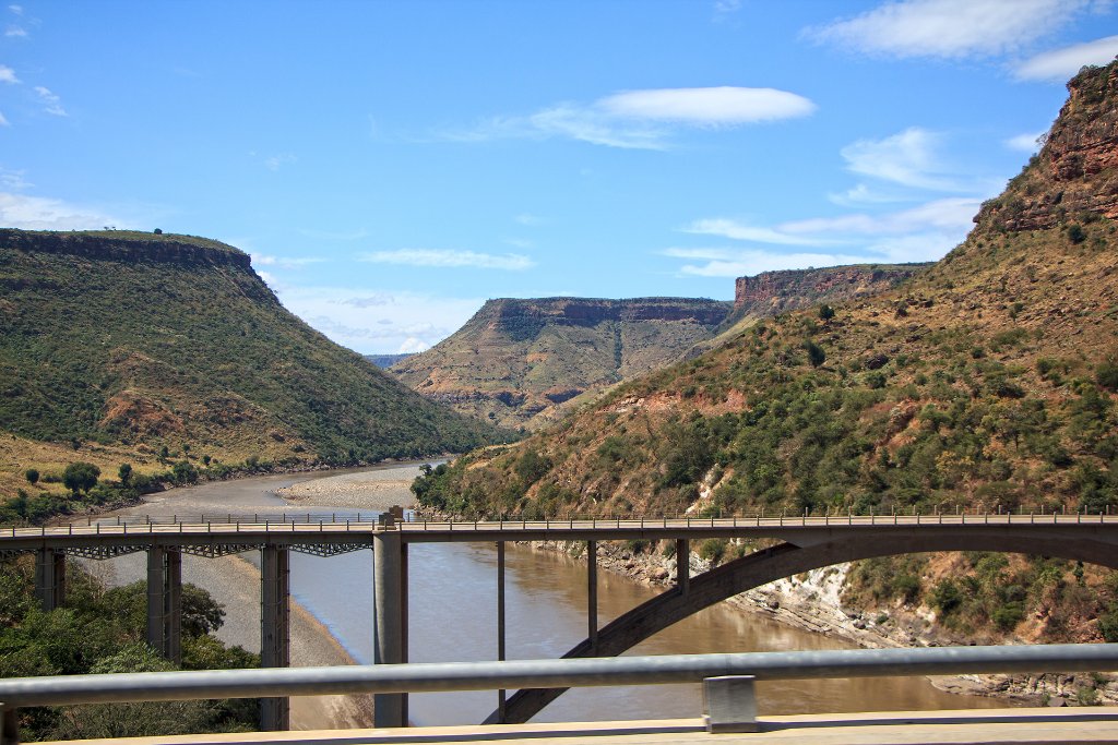 |
| 07-Blue Nile crossing | |
| Latitude: N 10°4'33,14" | Longitude: E 38°11'29,00" | Altitude: 1077 metres | Location: Filkâilikâ | State/Province: OromÄ«ya | Country: Ethiopia | Copyright: Ron Harkink | See map | |
| Total images: 53 | Help | |
|
|
|
| 07-Blue Nile crossing | |
| Latitude: N 10°4'33,14" | Longitude: E 38°11'29,00" | Altitude: 1077 metres | Location: Filkâilikâ | State/Province: OromÄ«ya | Country: Ethiopia | Copyright: Ron Harkink | See map | |
| Total images: 53 | Help | |